


Green River, UT
Advertisement
Green River Map
The Green River, located in the western United States, is the chief tributary of the Colorado River. The watershed of the river, known as the Green River Basin, covers parts of Wyoming, Utah, and Colorado. The Green River is 730 miles (1,170 km) long, beginning in the Wind River Mountains of Wyoming and flowing through Wyoming and Utah for most of its course, except for 40 miles (64 km) into western Colorado. Much of the route is through the Colorado Plateau and through some of the most spectacular canyons in the United States. It is only slightly smaller than the Colorado when the two rivers merge, but typically carries a larger load of silt. The average yearly mean flow of the river at Green River, Utah is 6,121 cubic feet (173.3 m3) per second.
The status of the Green River as a tributary of the Colorado River came about for mainly political reasons. In earlier nomenclature, the Colorado River began at its confluence with the Green River. Above the confluence the Colorado was called the Grand River. In 1921, Colorado U.S. Representative Edward T. Taylor petitioned the Congressional Committee on Interstate and Foreign Commerce to rename the Grand River as the Colorado River. On July 25, 1921 the name change was made official in House Joint Resolution 460 of the 66th Congress, over the objections of representatives from Wyoming and Utah and the United States Geological Survey which noted that the drainage basin of the Green River was more than 70% more extensive than that of the Grand River, although the Grand carried a slightly higher volume of water at its confluence with the Green.
It rises in western Wyoming, in northern Sublette County, on the western side of the Continental Divide in the Bridger-Teton National Forest in the Wind River Range. It flows south through Sublette County and western Wyoming in an area known as the Upper Green River Valley, then southwest and is joined by the Big Sandy River in western Sweetwater County. At the town of La Barge, it flows into Fontenelle Reservoir, formed by Fontenelle Dam. Below there, it flows through open sage covered rolling prairie where it is crossed by the Oregon, California and Mormon emigration trails and then further south until it flows past the town of Green River and into the Flaming Gorge Reservoir in Southwestern Wyoming, formed by the Flaming Gorge Dam in northeastern Utah. Prior to the creation of the reservoir, the Blacks Fork joined the Green River south of Green River, today the mouth of Blacks Fork is submerged by the reservoir.
Places in Green River
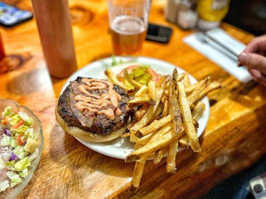
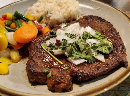
Dine and drink
Eat and drink your way through town.


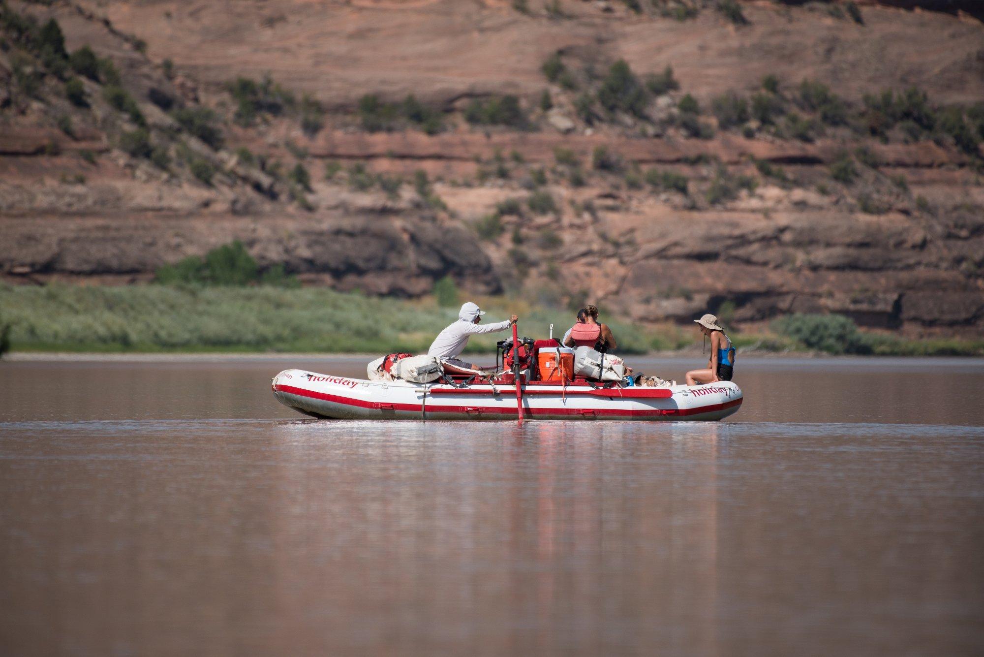
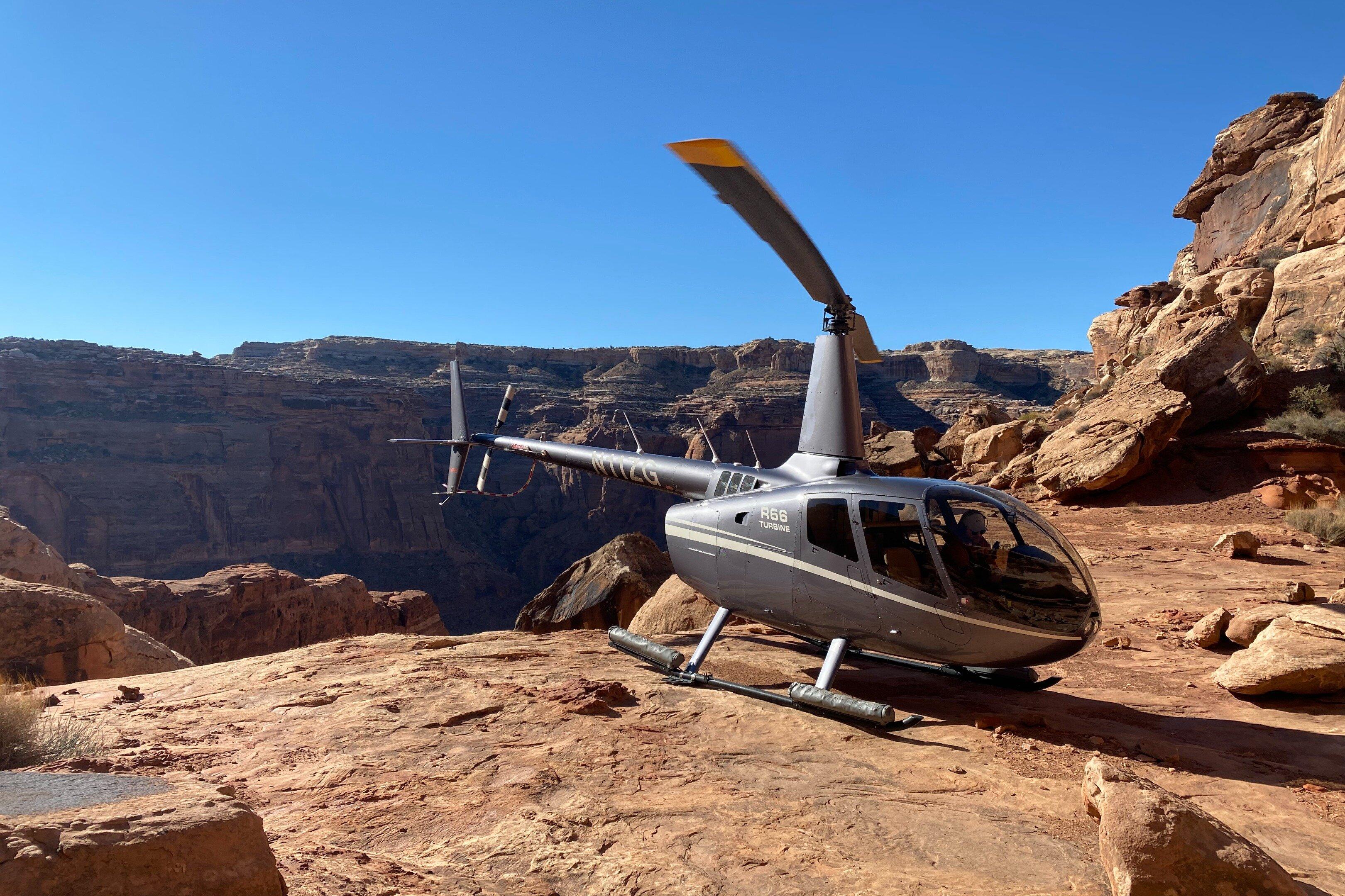
Can't-miss activities
Culture, natural beauty, and plain old fun.

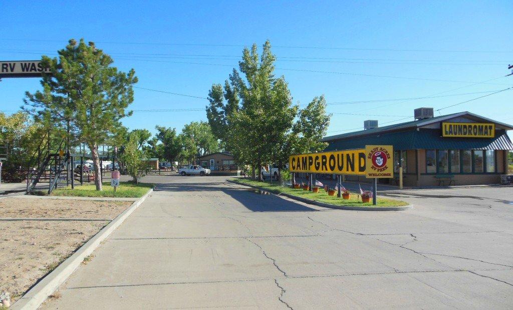
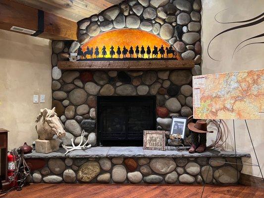
Places to stay
Hang your (vacation) hat in a place that’s just your style.


Advertisement