


Palo, IA
Advertisement
Palo, IA 52324
Palo Map
Palo is a city in Linn County, Iowa, United States. The population was 614 at the 2000 census; a special census in 2006 counted 899 residents. It is part of the Cedar Rapids Metropolitan Statistical Area.
Palo is located near the Duane Arnold Energy Center, the only nuclear power plant in Iowa, and the Pleasant Creek State Recreation Park.
Palo is located at 42°3?44?N 91°47?35?W / 42.06222°N 91.79306°W / 42.06222; -91.79306 (42.062201, -91.793126).
Nearby cities include Newhall, Marion, Alburnett, Urbana, Norway.
Places in Palo
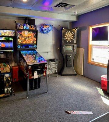
Dine and drink
Eat and drink your way through town.


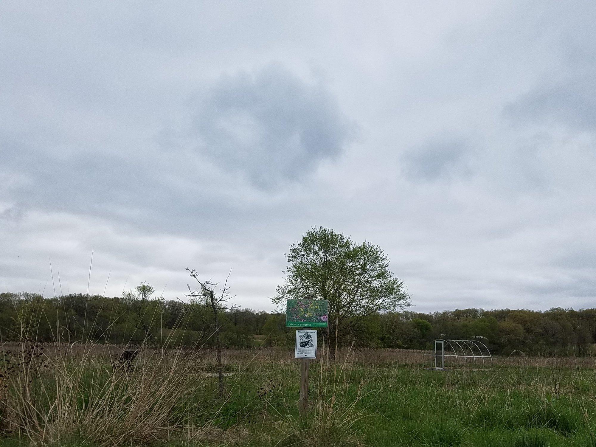
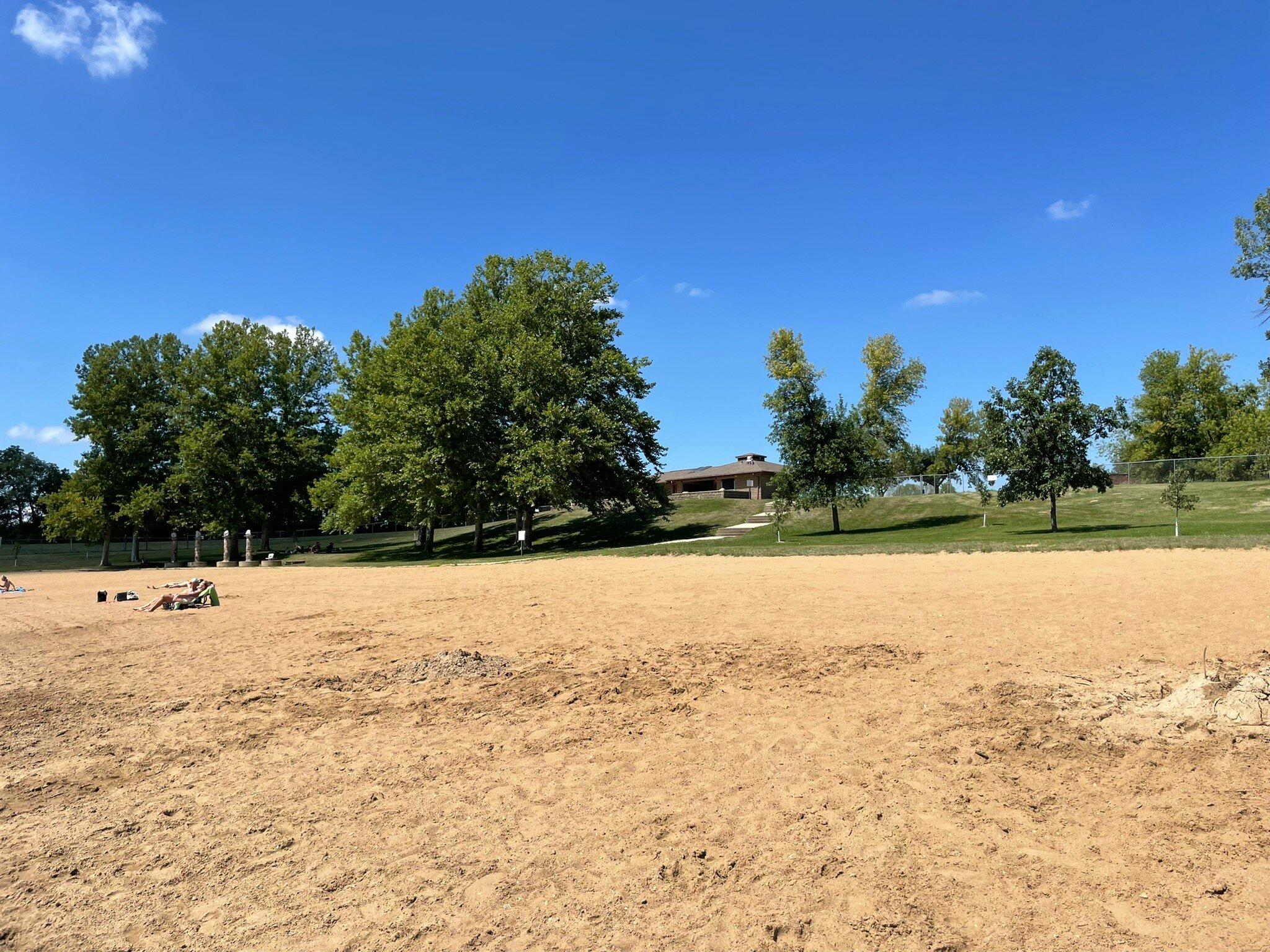
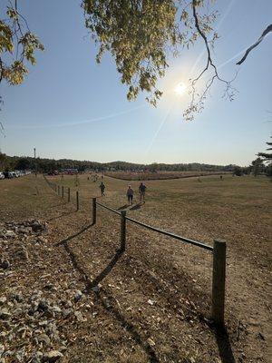
Can't-miss activities
Culture, natural beauty, and plain old fun.

Places to stay
Hang your (vacation) hat in a place that’s just your style.


See a problem?
Advertisement