


Cambria, CA
Advertisement
Cambria Map
Cambria is a seaside village located midway between San Francisco and Los Angeles on the California State Route 1 (Highway 1). The name Cambria was settled upon in 1869 (previously the town had gone by the names of Slabtown, Rosaville, San Simeon and Santa Rosa).
It is a census-designated place (CDP) in San Luis Obispo County, California, United States. The population was 6,032 at the 2010 census, down from 6,232 at the 2000 census.
Cambria is located at 35°33?15?N 121°05?15?W / 35.554030°N 121.087394°W / 35.554030; -121.087394. According to the United States Census Bureau, the CDP has a total area of 8.5 square miles (22.0 km²), all of it land.
Nearby cities include Cayucos, Morro Bay, San Simeon.
Places in Cambria
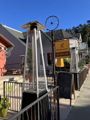
Dine and drink
Eat and drink your way through town.


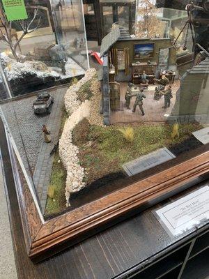
Can't-miss activities
Culture, natural beauty, and plain old fun.


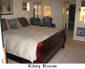
Places to stay
Hang your (vacation) hat in a place that’s just your style.

Advertisement