


Gamle Rukkedalsveg
Advertisement
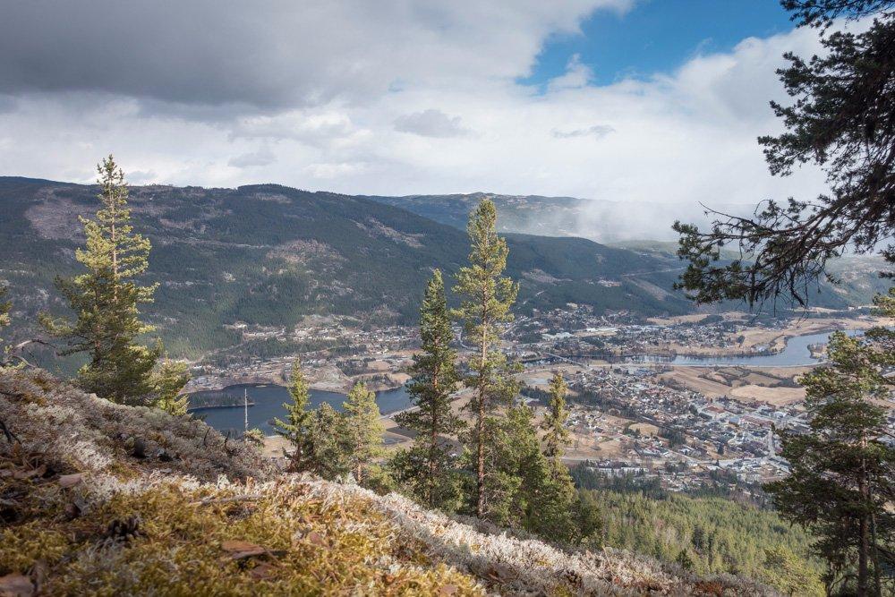
Nesbyen 3540
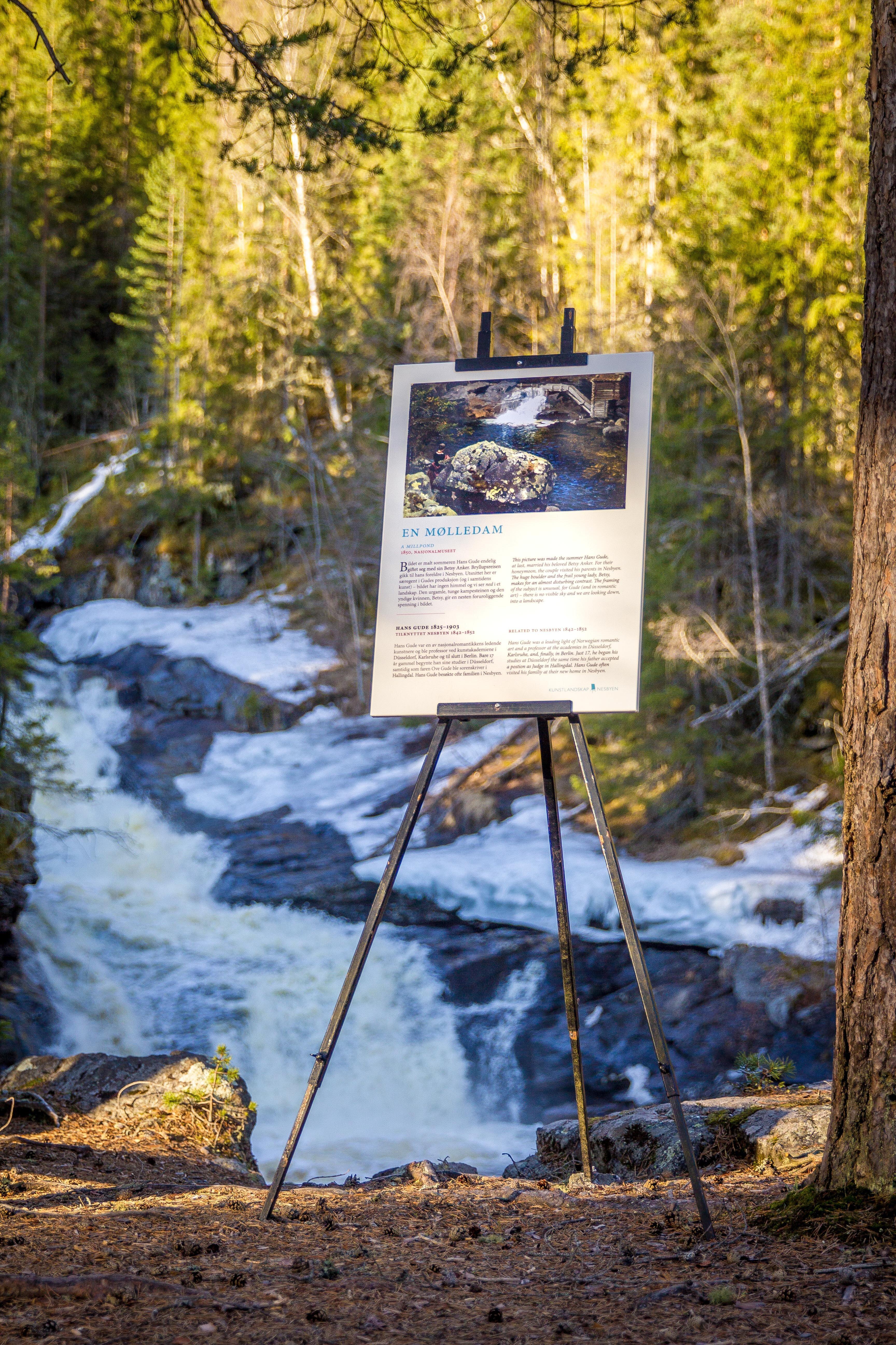
Forest. Both steep and flat parts. 160-250 m.a.s.l. The hike starts at the Hova farms. You’ll get to a couple of old farm yards, the first one is called Engelland and the second Fjakleland or Braten. Between the old farms there is a crossroad where a trail runs to the left to an abandoned farm called Teterud (sign). Continue from the crossroad up the slope Hovabakkan to the farm Fjalkeland. A bit further up you’ll get to the old lumber road to the mountain Bringenatten. Follow this road down to the bridge Vabrua over the river Rukkedola. Follow the new road Rukkedalsvegen towards Nesbyen app. 200 meters before you get on the old road Rukkedalsvegen to the right. You’ll be walking the first wagon road to the valley Rukkedalen (built in 1860-1870). Info sign at the crossroad. Cross the road Rukkedalsvegen and walk down the slope Sleppingan, a continuation of the old cattle road behind the museum. Walk through the museum area and back down to the parking lot. Starting point: Hallingdal Museum. Parking at the museum. Directions: Cross the bridge by the museum and follow the road up to the farm Espeset. Walk up the slopes Hovabakkane and down the old road Rukkedalsvegen is recommended. Km: App 3. Normal pace: app. 50 min. Signs: Info sign by the old road Rukkedalsvegen. At the slopes Hovabakkan: two info signs and two forest signs. Trail: Hiking trail/footpath. Rest stop: Fjakleland and Hovabakkan. Recommended stops: The old farm yards. Hiking map can be bought at the tourist information, bookstore, and tourist businesses. GPS: 0503920o - 6714026N
See a problem?
You might also like
Norway›Gamle Rukkedalsveg
Advertisement